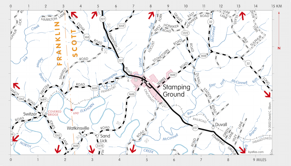
Stamping Ground, Kentucky

Stamping Ground is a Scott county city about seven miles northwest of Georgetown near the Locust Fork of North Elkhorn Creek and several springs. It was named for the activity of herds of bison in the area. Settlement in the area began in circa 1790 and the town was established in 1817 as Herndonsville, named for the local Herndon family. In 1834 the name was changed to Stamping Ground.
Stamping Ground was incorporated in 1853.
A Stamping Grounds post office operated for a short time in 1816. The Herndonsville post office operated from 1823 until 1834, when it was renamed Stamping Ground.
The population in 2020 was 781.
SEARCH THE KENTUCKY ATLAS & GAZETTEER
© 2024 David C. Elbon