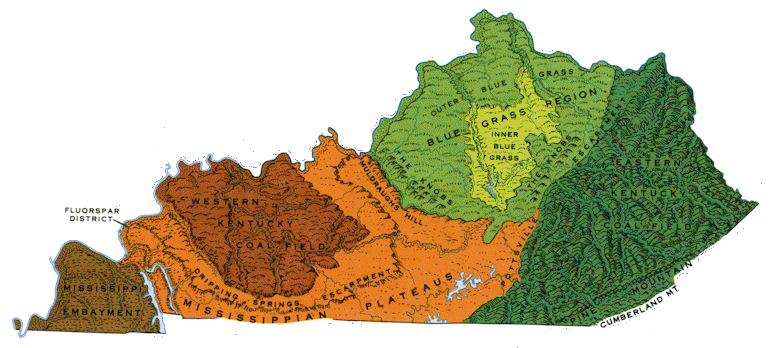
Select a region from the map or below for more information.
Relief
and
county outline
maps are also available. (Source:
Kentucky Geological Survey,
undated)
Kentucky is located in the central United States. In 2020 it had a population of 4,505,836 in a land area of 39,486 square miles, a mean of 114 people per square mile. The capital of Kentucky is Frankfort.
Kentucky can be divided into five major physiographic regions (which can be further subdivided): the Mississippi Embayment or Jackson Purchase in the west, the Mississippian Plateaus or Pennyrile, the Western Coal Field, the Bluegrass, and the Eastern Coal Field.

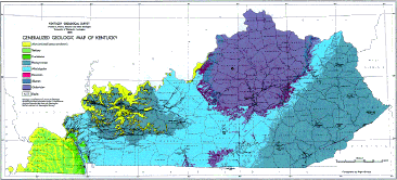
Generalized Geologic Map of Kentucky (Kentucky Geological Survey, 1979)
SEARCH THE KENTUCKY ATLAS & GAZETTEER
© 2026 David C. Elbon