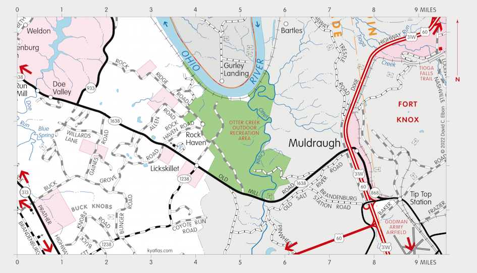
Muldraugh, Kentucky

Muldraugh is a Meade county town that extends into Hardin county. It is on US 31W and US 60 about eight miles southeast of Brandenburg. It is surrounded by Fort Knox. It was established in the nineteenth century and probably named for nearby Muldraugh Hill.
Muldraugh was incorporated in 1952.
The Muldraugh post office opened in 1874.
The population in 2010 was 947.
About five miles east of town is Muldraugh Hill, an escarpment that divides the Bluegrass region from the Pennyrile. The hill is about 500 feet higher than the surrounding terrain and extends about 75 miles from West Point in the northwest to Calvary in the southeast. Muldraugh Hill was probably named for John Muldraugh, an early settler.
MORE INFORMATION
SEARCH THE KENTUCKY ATLAS & GAZETTEER
© 2026 David C. Elbon