Pleasant Hill, Kentucky

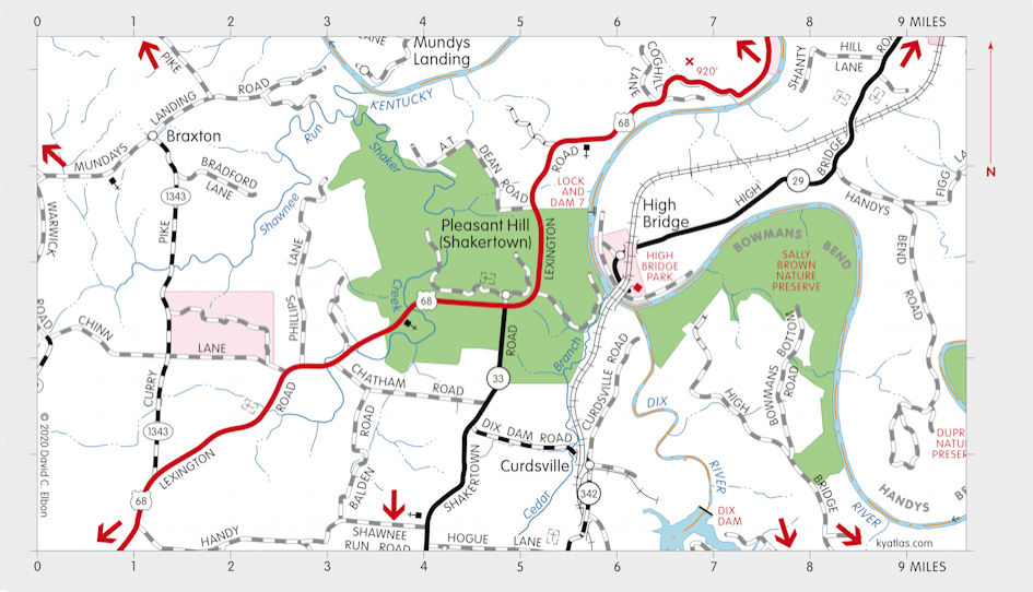
Pleasant Hill, also known as Shakertown, is in Mercer county about eight miles northeast of Harrodsburg near the Kentucky River. It was founded by members of the Society of Believers in Christ's Second Appearing, known as the Shakers, in 1805. The community eventually reached a size of 4,500 acres and a peak population of about 500 in the middle of the nineteenth century. It was disbanded in 1910 and the last Shaker resident died in 1923. After many years of private ownership, much of the land and many of the buildings were restored as a museum known as Shaker Village of Pleasant Hill.
A post office operated at several locations at Pleasant Hill intermittently from 1818 until 1904 under the names Shawnee Run or Pleasant Hill.


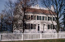
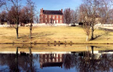
The Centre Family Dwelling (1824) and West Family Dwelling (1821) at Pleasant Hill.
The Shakers built and maintained part of the Lexington-Harrodsburg road which ran through the village and which they operated as a toll road. They also operated a ferry on the Kentucky River about two miles north of Pleasant Hill, across from High Bridge.
The Shakers formed another community in Kentucky at South Union in Logan county.
SEARCH THE KENTUCKY ATLAS & GAZETTEER
© 2026 David C. Elbon