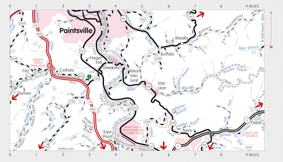
Dawkins Line Rail Trail

100 acres in Johnson Magoffin Breathitt counties.
The Dawkins Line Rail Trail follows the old railbed of the Big Sandy and Kentucky River Railroad – the Dawkins line – from Hager Hill to Evanston. It has a packed crushed-rock surface suitable for walking, bicycling, or horseback riding. The trail totals 36 miles, but is divided into two sections that are planned to be connected by a tunnel that requires restoration.

SEARCH THE KENTUCKY ATLAS & GAZETTEER
© 2026 David C. Elbon