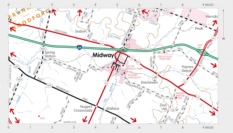
Wallace, Kentucky

Wallace was a northern Woodford county community on the road between Lexington and Frankfort. In the 1880s the Versailles and Midway Railway was completed and a station was established where it crossed the Old Frankfort Pike. It was named Wallace Station for Caleb Wallace. A community grew up around the station to support a nearby phosphate mine.
The Wallace Station post office opened in 1886, having moved from nearby Nugent Crossroads. The name was shortened to Wallace in 1903 and the post office closed in 1913.
SEARCH THE KENTUCKY ATLAS & GAZETTEER
© 2026 David C. Elbon