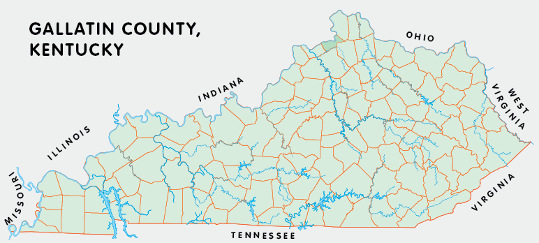
Gallatin county is in the Outer Bluegrass region of Kentucky. The elevation in the county ranges from 420 to 920 feet above sea level.
It was formed in 1799 from Franklin and Shelby counties. Gallatin county was a source of Owen (1819), Trimble (1837), and Carroll (1838) counties. The county seat is Warsaw.
In 2020 the county population was 8,690 in a land area of 101.23 square miles, an average of 85.8 people per square mile.
The equine population was 400 in the 2012 Kentucky Equine Survey.
Gallatin county is in the Northern Kentucky Area Development District.
Gallatin county was named for Albert Gallatin, who served in the United States Congress and later as Secretary of the Treasury under presidents Thomas Jefferson and James Madison.


SEARCH THE KENTUCKY ATLAS & GAZETTEER
© 2026 David C. Elbon
