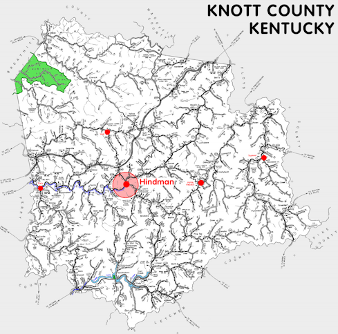
Knott county is in the Eastern Coal Field region of Kentucky. The elevation in the county ranges from 675 to 2360 feet above sea level.
It was formed in 1884 from Breathitt, Floyd, Letcher, and Perry counties. The county seat is Hindman.
In 2020 the county population was 14,251 in a land area of 351.52 square miles, an average of 40.5 people per square mile.
The equine population was 100 in the 2012 Kentucky Equine Survey.
Knott county is in the Kentucky River Area Development District. It is in the Appalachian region according to the Appalachian Regional Commission.
Knott county was named to honor Governor James Proctor Knott.
The University of Kentucky's Robinson Forest extends into northwest Knott county.


SEARCH THE KENTUCKY ATLAS & GAZETTEER
© 2026 David C. Elbon
