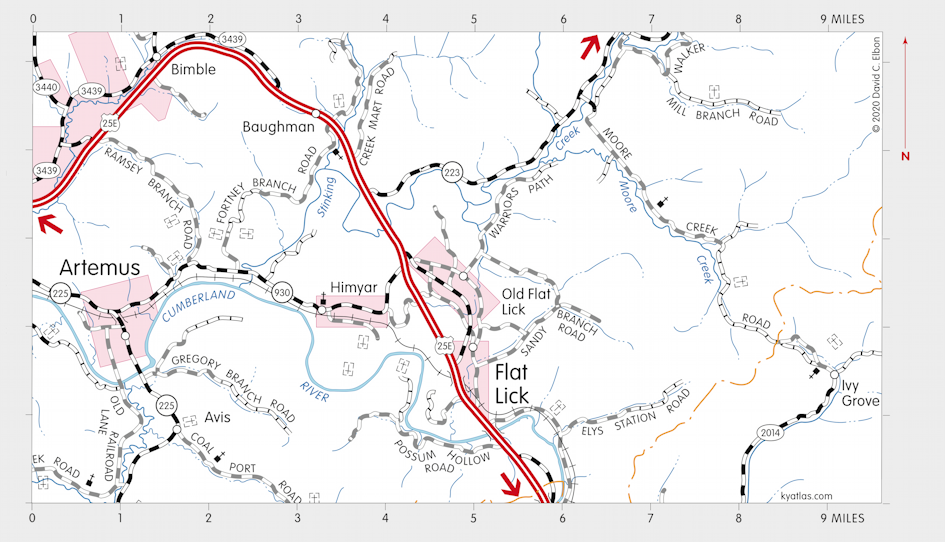
Flat Lick, Kentucky

Flat Lick is a Knox county community near the Cumberland River about eight miles southeast of Barbourville. Named for a large salt lick, it was settled in the late eighteenth century. It is marked on Filson's 1784 map of Kentucky. The original site of the town is now called Old Flat Lick and is about a mile north. It is said that the Cumberland River flowed through Old Flat Lick until a flood in 1862 changed its course. A Rome post office opened in the vicinity in 1840 and was renamed Flat Lick in 1848. The Flat Lick census designated place, which covers almost 5 square miles, had a population of 960 in 2010.
SEARCH THE KENTUCKY ATLAS & GAZETTEER
© 2026 David C. Elbon