Fords Ferry, Kentucky

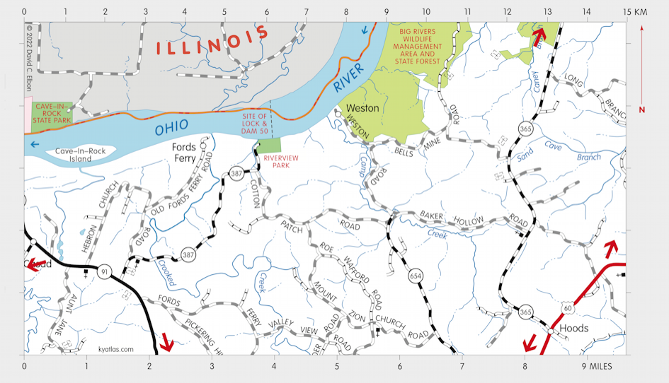
Fords Ferry was a Crittenden county town about 12 miles north of Marion on the Ohio River at the mouth of Crooked Creek. It was named for James Ford, who operated a ferry there. The town was largely deserted after the 1937 flood.
The Fords Ferry post office opened in 1854 and closed in 1947.
Near Fords Ferry was the site of the Ohio River Lock and Dam 50. The old upstream Lock and Dam 49 was near Uniontown and the downstream Lock and Dam 51 was near Berry Ferry.
SEARCH THE KENTUCKY ATLAS & GAZETTEER
© 2026 David C. Elbon