Leestown, Kentucky

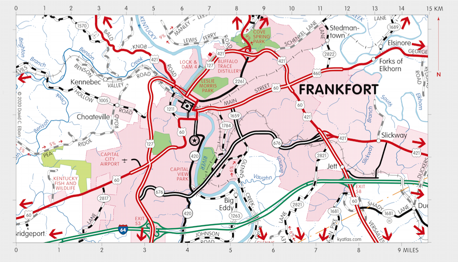
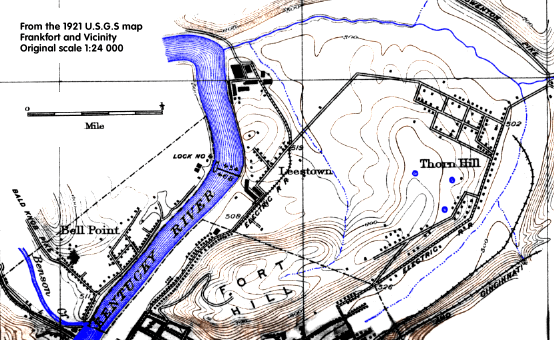
Leestown was a settlement in what is now Franklin county on the east side of the Kentucky River about a mile north of the settlement that became Frankfort. It was established in 1775, the first Anglo-American settlement on the north side of the Kentucky, by Hancock Lee. It is now within the city of Frankfort and was located near Lock and Dam 4. The name was often written as Lees Town and it apparently never had a post office.

From Jedidiah Morse's The American Geography (London, 1794)
Leestown is west of Lexington, on the eastern bank of Kentucky river; it is regularly laid out, and is flourishing. The banks of Kentucky river are remarkably high, in some places 300 and 400 feet, composed generally of stupendous perpendicular rock; the consequence is, there are few crossing places; the best is at Leestown, which is a circumstance that must contribute much to its increase.
SEARCH THE KENTUCKY ATLAS & GAZETTEER
© 2026 David C. Elbon