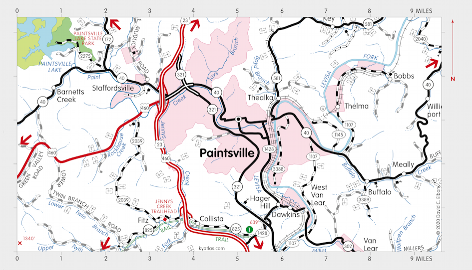
Paintsville, Kentucky

Paintsville, the seat of Johnson county, is located along Paint Creek at its mouth on the Levisa Fork of the Big Sandy River. The town began as Paint Creek Station early in the nineteenth century. The town was laid out in 1826 and was established in 1834. The name of the creek and town refer to Indian drawings found on trees in the area.
Paintsville was incorporated in 1843.
The Paint Creek post office opened in 1824 and was renamed Paintsville in 1843.
The population of Paintsville in 2020 was 4,394.
There is a trailhead for the Dawkins Line Rail Trail south of town at Hager Hill.
MORE INFORMATION
- Johnson County Fiscal Court
- Johnson County Public Library
- Johnson County Schools
- Kentucky Apple Festival
- Paintsville, City of
- Paintsville Herald
- Paintsville Independent Schools
- Paintsville Tourism
SEARCH THE KENTUCKY ATLAS & GAZETTEER
© 2026 David C. Elbon