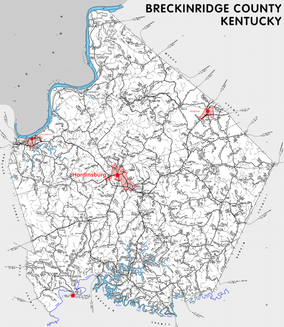
Breckinridge county is in the Pennyrile region of Kentucky. The elevation in the county ranges from 383 to 920 feet above sea level.
It was formed in 1800 from Hardin county. The county seat is Hardinsburg. Breckinridge county was a source of Meade (1824) and Hancock (1829) counties.
In 2020 the county population was 20,432 in a land area of 567.17 square miles, an average of 36.0 people per square mile.
The equine population was 1,900 in the 2012 Kentucky Equine Survey.
Breckinridge county is in the Lincoln Trail Area Development District.
Breckinridge county was named to honor John Breckinridge, United States Attorney General and legislator.
The birthplace of Joseph Holt, first US Judge Advocate General, is in Breckinridge county outside Addison.


SEARCH THE KENTUCKY ATLAS & GAZETTEER
© 2026 David C. Elbon
