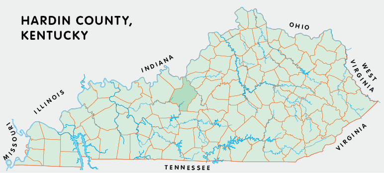
Hardin county is in the Pennyrile region of Kentucky. The elevation in the county ranges from 383 to 1017 feet above sea level.
It was formed in 1793 from Nelson county. Hardin county was a source of Ohio (1799), Breckinridge (1800), Grayson (1810), Hart (1819), Meade (1824), and LaRue (1843) counties. The county seat is Elizabethtown.
In 2020 the county population was 110,702 in a land area of 623.28 square miles, an average of 177.6 people per square mile.
The equine population was 4,300 in the 2012 Kentucky Equine Survey.
Hardin county is in the Lincoln Trail Area Development District.
Hardin county was named for Colonel John Hardin, who fought in the American Revolution and was killed in 1792 while leading an expedition to negotiate with the Shawnee in Ohio.
Part of Fort Knox is in the county.


SEARCH THE KENTUCKY ATLAS & GAZETTEER
© 2026 David C. Elbon
