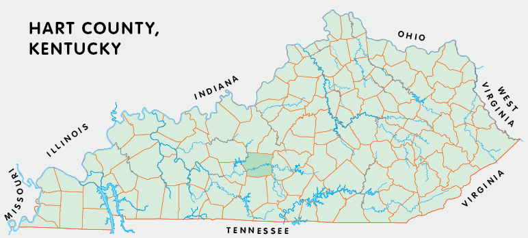
Hart county is in the Pennyrile region of Kentucky. The elevation in the county ranges from 421 to 1156 feet above sea level.
It was formed in 1819 from Barren and Hardin counties. Hart county was a source of Edmonson (1825) county. The county seat is Munfordville.
In 2020 the county population was 19,288 in a land area of 412.09 square miles, an average of 46.8 people per square mile.
The equine population was 3,300 in the 2012 Kentucky Equine Survey.
Hart county is in the Barren River Area Development District. It is in the Appalachian region according to the Appalachian Regional Commission.
Hart county was named for Captain Nathaniel Gray Smith Hart, a lawyer from Lexington who was killed at the River Raisin during the War of 1812.
Mammoth Cave National Park extends into Hart county west of Horse Cave.


SEARCH THE KENTUCKY ATLAS & GAZETTEER
© 2026 David C. Elbon
