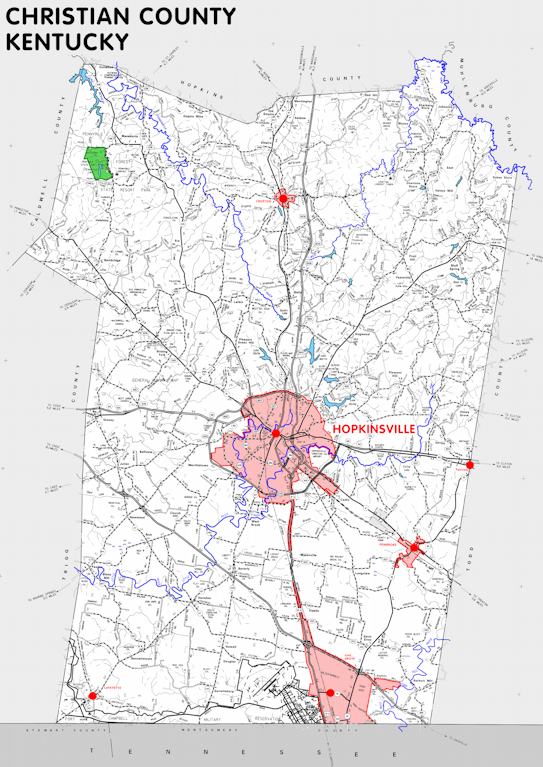
Christian county is in the Pennyrile region of Kentucky. The elevation in the county ranges from 390 to 966 feet above sea level.
It was formed in 1797 from Logan county. The county seat is Hopkinsville. Christian county was a source of Henderson (1799), Muhlenberg (1799), Livingston (1799), Todd (1820), and Trigg (1820) counties.
In 2020 the county population was 72,748 in a land area of 717.50 square miles, an average of 101.4 people per square mile.
The equine population was 2,700 in the 2012 Kentucky Equine Survey.
Christian county is in the Clarksville metro statistical area and the Pennyrile Area Development District.
Christian county was named to honor William Christian, who served in the American Revolution and established Fort William at Louisville.


SEARCH THE KENTUCKY ATLAS & GAZETTEER
© 2026 David C. Elbon
