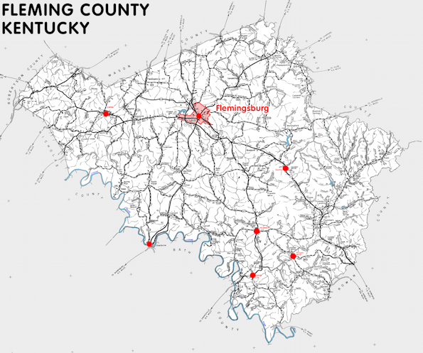
Fleming county is in the Outer Bluegrass region of Kentucky. The elevation in the county ranges from 590 to 1420 feet above sea level.
It was formed in 1798 from Mason county. The county seat is Flemingsburg. Fleming county was a source of Floyd (1800) and Rowan (1856) counties.
In 2020 the county population was 15,082 in a land area of 348.54 square miles, an average of 43.3 people per square mile.
The equine population was 2,300 in the 2012 Kentucky Equine Survey.
Fleming county is in the Buffalo Trace Area Development District. It is in the Appalachian region according to the Appalachian Regional Commission.
Fleming county was named for John Fleming, an early settler.
Three of Kentucky's thirteen remaining covered bridges are in Fleming county.


SEARCH THE KENTUCKY ATLAS & GAZETTEER
© 2026 David C. Elbon
