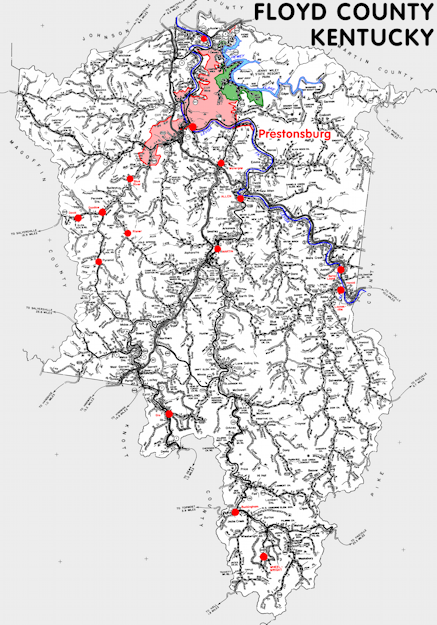
Floyd county is in the Eastern Coal Field region of Kentucky. The elevation in the county ranges from 580 to 2320 feet above sea level.
It was formed in 1800 from Fleming, Mason, and Montgomery counties. The county seat is Prestonsburg. Floyd county was a source of Perry (1821), Lawrence (1822), Pike (1822), Morgan (1823), Johnson (1843), Magoffin (1860), Martin (1870), and Knott (1884) counties.
In 2020 the county population was 35,942 in a land area of 393.35 square miles, an average of 91.4 people per square mile.
The equine population was 800 in the 2012 Kentucky Equine Survey.
Floyd county is in the Big Sandy Area Development District. It is in the Appalachian region according to the Appalachian Regional Commission.
Floyd county was named for John Floyd, an explorer and surveyor.


SEARCH THE KENTUCKY ATLAS & GAZETTEER
© 2026 David C. Elbon
