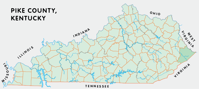
Pike county is in the Eastern Coal Field region of Kentucky. The elevation in the county ranges from 610 to 3149 feet above sea level.
It was formed in 1822 from Floyd county. Pike county was a source of Martin (1870) county. The county seat is Pikeville.
In 2020 the county population was 58,669 in a land area of 786.83 square miles, an average of 74.6 people per square mile.
It is the largest county in the state.
The equine population was 200 in the 2012 Kentucky Equine Survey.
Pike county is in the Big Sandy Area Development District. It is in the Appalachian region according to the Appalachian Regional Commission.
Pike county was named for General Zebulon Pike, who was killed in the War of 1812.


SEARCH THE KENTUCKY ATLAS & GAZETTEER
© 2026 David C. Elbon
