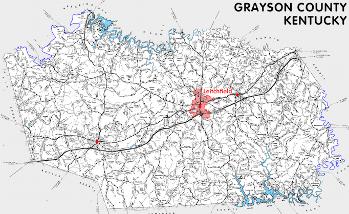
Grayson county is in the Western Coal Field region of Kentucky. The elevation in the county ranges from 395 to 963 feet above sea level.
It was formed in 1810 from Hardin and Ohio counties. The county seat is Leitchfield. Grayson county was a source of Edmonson (1825) county.
In 2020 the county population was 26,420 in a land area of 496.70 square miles, an average of 53.2 people per square mile.
The equine population was 3,000 in the 2012 Kentucky Equine Survey.
Grayson county is in the Lincoln Trail Area Development District.
Grayson county was named for Colonel William Grayson, who was an aide to General George Washington and a United States Senator from Virginia and who owned extensive land in Kentucky. He was a grandfather of William Grayson Carter, for whom Carter county was named.


SEARCH THE KENTUCKY ATLAS & GAZETTEER
© 2026 David C. Elbon
