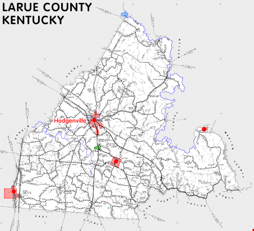
LaRue county is in the Pennyrile region of Kentucky. The elevation in the county ranges from 421 to 1080 feet above sea level.
It was formed in 1843 from Hardin county. The county seat is Hodgenville.
In 2020 the county population was 14,867 in a land area of 261.52 square miles, an average of 56.8 people per square mile.
The equine population was 1,700 in the 2012 Kentucky Equine Survey.
LaRue county is in the Lincoln Trail Area Development District.
LaRue county was named for settler John LaRue, grandfather of Governor John LaRue Helm.
Abraham Lincoln was born near Hodgenville.


SEARCH THE KENTUCKY ATLAS & GAZETTEER
© 2026 David C. Elbon
