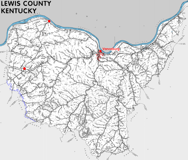
Lewis county is in the Outer Bluegrass and Eastern Coal Field regions of Kentucky. The elevation in the county ranges from 485 to 1400 feet above sea level.
It was formed in 1807 from Mason county. The county seat is Vanceburg. Lewis county was a source of Beckham (1904) county.
In 2020 the county population was 13,080 in a land area of 482.84 square miles, an average of 27.1 people per square mile.
The equine population was 1,400 in the 2012 Kentucky Equine Survey.
Lewis county is in the Buffalo Trace Area Development District. It is in the Appalachian region according to the Appalachian Regional Commission.
Lewis county was named for Merriweather Lewis.


SEARCH THE KENTUCKY ATLAS & GAZETTEER
© 2026 David C. Elbon
