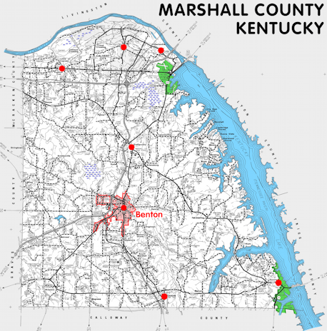
Marshall county is in the Jackson Purchase region of Kentucky. The elevation in the county ranges from 302 to 550 feet above sea level.
It was formed in 1842 from Calloway county. The county seat is Benton.
In 2020 the county population was 31,659 in a land area of 301.25 square miles, an average of 105.1 people per square mile.
The equine population was 1,300 in the 2012 Kentucky Equine Survey.
Marshall county is in the Purchase Area Development District.
Marshall county was named for John Marshall, Chief Justice of the United States.
The Clarks River National Wildlife Refuge extends into the county.


SEARCH THE KENTUCKY ATLAS & GAZETTEER
© 2026 David C. Elbon
