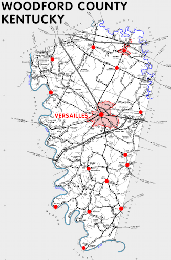
Woodford county is in the Inner Bluegrass region of Kentucky. The elevation in the county ranges from 469 to 1000 feet above sea level.
It was formed in 1789 from Fayette county. The county seat is Versailles. Woodford county was a source of Scott (1792) and Franklin (1795) counties.
In 2020 the county population was 26,871 in a land area of 188.78 square miles, an average of 142.3 people per square mile.
The equine population was 11,900 in the 2012 Kentucky Equine Survey.
Woodford county is in the Lexington-Fayette metro statistical area and the Bluegrass Area Development District.
Woodford county was named to honor General William Woodford, who served in the American Revolution and died as a prisoner of war on a British ship.


SEARCH THE KENTUCKY ATLAS & GAZETTEER
© 2026 David C. Elbon
