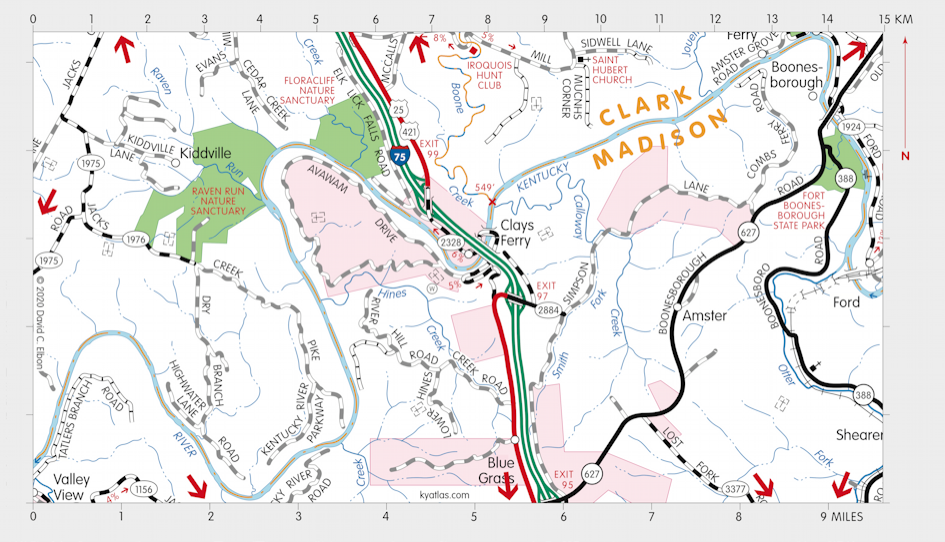
Clays Ferry, Kentucky

Clays Ferry is a Fayette county community on the Kentucky River below the mouth of Boones Creek about 15 miles southeast of Lexington. It extends across the river into Madison county. The community originated before 1790 around the landing owned by Eli Cleveland. It was the site of a shipyard, warehouses, and mills. The ferry opened in 1792 and the site became known first as Stone's Ferry, for Valentine Stone, the first owner, and after 1798 as Clay's Ferry, for Green Clay, the second owner. A Cleveland or Cleaveland post office operated at several locations in the vicinity intermittently from 1853 until 1928.
The ferry is gone, but the river is crossed by a bridge constructed circa 1870 on what was once the Richmond and Lexington Turnpike and later US 25. High above this is a new bridge that now carries I-75. A two lane bridge, over 200 feet above the river, was completed in 1946 and was at the time one of the highest highway bridges in the country. A second two lane bridge was added in 1963 and a third in 1997.
SEARCH THE KENTUCKY ATLAS & GAZETTEER
© 2026 David C. Elbon