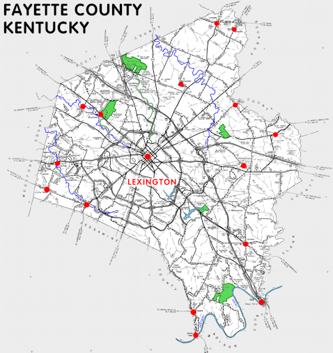
Fayette county is in the Inner Bluegrass region of Kentucky. The elevation in the county ranges from 549 to 1070 feet above sea level.
It was formed in 1780. The county seat is Lexington. Fayette county was a source of Bourbon (1786), Woodford (1789), Clark (1793), and Jessamine (1799) counties.
In 2020 the county population was 322,570 in a land area of 283.65 square miles, an average of 1137.2 people per square mile.
The equine population was 24,600 in the 2012 Kentucky Equine Survey.
Fayette county is in the Lexington-Fayette metro statistical area and the Bluegrass Area Development District.
Fayette was one of the original counties in the Kentucky territory of Virginia and was named to honor the hero of the American Revolution, Gilbert du Motier, Marquis de Lafayette.
The Lexington and Fayette County governments are merged into the Lexington-Fayette Urban County Government.


SEARCH THE KENTUCKY ATLAS & GAZETTEER
© 2026 David C. Elbon
