Kentucky Atlas and Gazetteer

Zion Hill, Kentucky
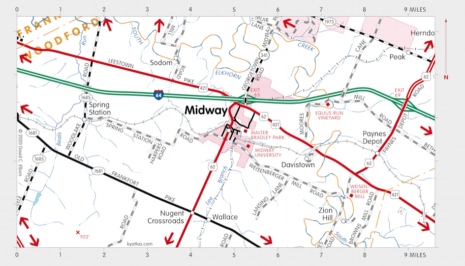
Map of Zion Hill, Kentucky Area

Zion Hill is a Scott county community about eight miles southwest of Georgetown on Paynes Depot Road along South Elkhorn Creek. It was settled sometime before 1872, possibly before the Civil War, by formerly enslaved people. It was originally known as Lenerson. The residents mostly worked on the surrounding farms and it grew to about 250 people. It included stores, a church, and a Rosenwald school, which closed in 1945. The Lenerson post office operated from 1900 until 1903.


Midway University Midway, Kentucky Nugent Crossroads, Kentucky Weisenberger Mill Davistown, Kentucky Wallace, Kentucky Zion Hill, Kentucky Sodom, Kentucky Paynes Depot, Kentucky Equus Run Vineyard Spring Station, Kentucky To Woodlake, Kentucky To White Sulphur, Kentucky To White Sulphur, Kentucky To Georgetown, Kentucky To Lexington, Kentucky To Bracktown, Kentucky To Lexington, Kentucky To Versailles, Kentucky To Versailles, Kentucky To Frankfort, Kentucky To Duckers, Kentucky To Frankfort, Kentucky
SEARCH THE KENTUCKY ATLAS & GAZETTEER

© 2025 David C. Elbon