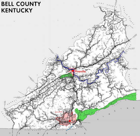
Bell county is in the Eastern Coal Field region of Kentucky. The elevation in the county ranges from 975 to 3500 feet above sea level.
It was formed in 1867 from Harlan and Knox counties. The county seat is Pineville.
In 2020 the county population was 24,097 in a land area of 359.00 square miles, an average of 67.1 people per square mile.
The equine population was 200 in the 2012 Kentucky Equine Survey.
Bell county is in the Middlesborough micro statistical area and the Cumberland Valley Area Development District. It is in the Appalachian region according to the Appalachian Regional Commission.
Bell county was originally known as Josh Bell county for Joshua Fry Bell, Kentucky legislator. It was shortened to just Bell in 1873.
The Cumberland Gap is in Bell county, just south of Middlesborough, on the border between Kentucky and Tennessee.


SEARCH THE KENTUCKY ATLAS & GAZETTEER
© 2026 David C. Elbon
