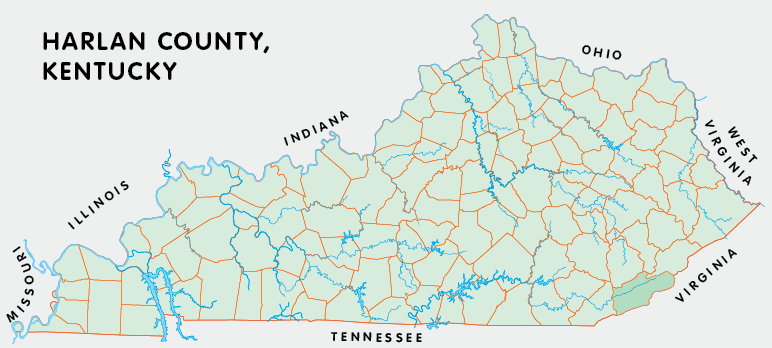
Harlan county is in the Eastern Coal Field region of Kentucky. The elevation in the county ranges from 1070 to 4145 feet above sea level, the highest in the state.
It was formed in 1819 from Knox county. Harlan county was a source of Letcher (1842) and Bell (1867) counties. The county seat is Harlan.
In 2020 the county population was 26,831 in a land area of 465.83 square miles, an average of 57.6 people per square mile.
The equine population was 200 in the 2012 Kentucky Equine Survey.
Harlan county is in the Cumberland Valley Area Development District. It is in the Appalachian region according to the Appalachian Regional Commission.
Harlan county was named for Silas Harlan, an early settler who fought in the American Revolution and died at Blue Licks in 1782.
Several mountains run through the county, including Pine and Black. The highest point in Kentucky is on Black Mountain just outside Lynch. Coal mining and logging have long been the principle industries in the county and several of its towns, including Lynch and Benham, began as mining camps.
Cumberland is the home of Southeast Community and Technical College. The Pine Mountain Settlement School is in the town of Pine Mountain.
Kingdom Come State Park and Pine Mountain Trail State Park Nature Preserve are on Pine Mountain. The James E. Bickford State Nature Preserve and the Blanton Forest State Nature Preserve, perhaps the largest tract of old-growth forest in the state, are also located in the county.


SEARCH THE KENTUCKY ATLAS & GAZETTEER
© 2026 David C. Elbon
