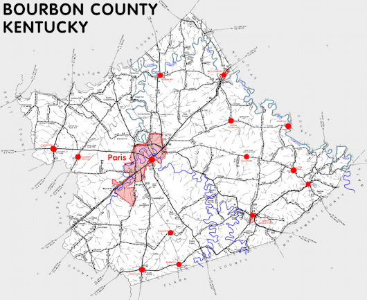
Bourbon county is in the Inner Bluegrass region of Kentucky. The elevation in the county ranges from 715 to 1050 feet above sea level.
It was formed in 1786 from Fayette county. The county seat is Paris. Bourbon county was a source of Mason (1789), Clark (1793), Harrison (1794), and Nicholas (1800) counties.
In 2020 the county population was 20,252 in a land area of 289.72 square miles, an average of 69.9 people per square mile.
The equine population was 13,000 in the 2012 Kentucky Equine Survey.
Bourbon county is in the Lexington-Fayette metro statistical area and the Bluegrass Area Development District.
Bourbon county was formed while the territory was part of Virginia and was named to honor the French royal family.


SEARCH THE KENTUCKY ATLAS & GAZETTEER
© 2026 David C. Elbon
