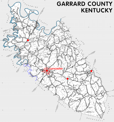
Garrard county is in the Bluegrass region of Kentucky. The elevation in the county ranges from 514 to 1400 feet above sea level.
It was formed in 1797 from Lincoln, Madison, and Mercer counties. The county seat is Lancaster.
In 2020 the county population was 16,953 in a land area of 230.08 square miles, an average of 73.7 people per square mile.
The equine population was 1,700 in the 2012 Kentucky Equine Survey.
Garrard county is in the Bluegrass Area Development District. It is in the Appalachian region according to the Appalachian Regional Commission.
Garrard county was named for Governor James Garrard.
Carrie Nation (Caroline Amelia Moore Nation), noted anti-alcohol crusader, was born in 1846 near the Dix River northwest of Davistown on what is now named Carry Nation Road. The house has been moved to the grounds of the Garrard County Distilling Company in Lancaster.


SEARCH THE KENTUCKY ATLAS & GAZETTEER
© 2026 David C. Elbon
