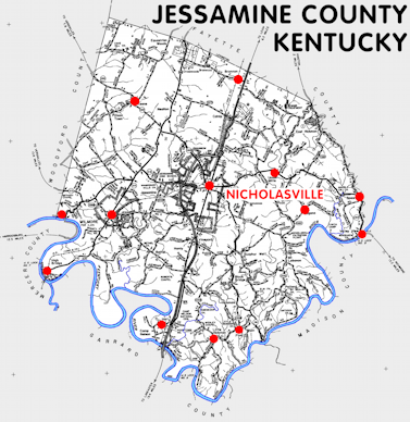
Jessamine county is in the Inner Bluegrass region of Kentucky. The elevation in the county ranges from 497 to 1072 feet above sea level.
It was formed in 1799 from Fayette county. The county seat is Nicholasville.
In 2020 the county population was 52,991 in a land area of 172.12 square miles, an average of 307.9 people per square mile.
The equine population was 4,500 in the 2012 Kentucky Equine Survey.
Jessamine county is in the Lexington-Fayette metro statistical area and the Bluegrass Area Development District.
Jessamine county was named for Jessamine Creek. (However the source of the name of the creek is obscure. It may have been named in 1774 by the surveyor James Douglas for his daughter or the flower.)


SEARCH THE KENTUCKY ATLAS & GAZETTEER
© 2026 David C. Elbon
