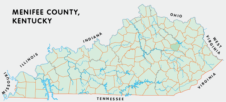
Menifee county is in the Eastern Coal Field region of Kentucky. The elevation in the county ranges from 670 to 1428 feet above sea level.
It was formed in 1869 from Bath, Montgomery, Morgan, Powell, and Wolfe counties. The county seat is Frenchburg.
In 2020 the county population was 6,113 in a land area of 203.59 square miles, an average of 30.0 people per square mile.
The equine population was 900 in the 2012 Kentucky Equine Survey.
Menifee county is in the Mount Sterling micro statistical area and the Gateway Area Development District. It is in the Appalachian region according to the Appalachian Regional Commission.
Menifee county was named for Richard Hickman Menefee, who had been a congressman from the area. (The change in spelling was apparently the result of an error.)
Much of Menifee county is within the Daniel Boone National Forest, including part of Cave Run Lake.


SEARCH THE KENTUCKY ATLAS & GAZETTEER
© 2026 David C. Elbon
