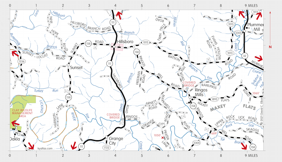
Maxey Flats, Kentucky

Maxey Flats is located in Fleming county 16 miles southeast of Flemingsburg along Rock Lick Creek near Ringos Mills and the border with Rowan county. The name probably comes from a local family.
From 1963 through 1977 the Maxey Flats Nuclear Waste Facility operated here, closing when it was discovered that groundwater and runoff into tributaries of the Licking River were being contaminated. Other problems included leaking volatile organic compounds, heavy metals, and pesticides. Maxey Flats became one of the largest, at 900 acres, federal Superfund cleanup sites. Cleanup and monitoring operations will be required for many decades to come at an estimated cost of at least $60 million.
SEARCH THE KENTUCKY ATLAS & GAZETTEER
© 2026 David C. Elbon