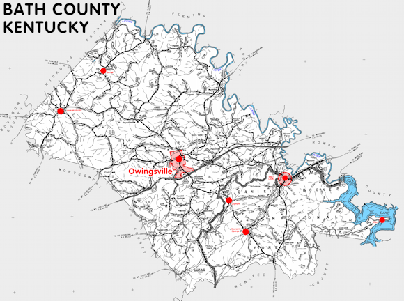
Bath county is in the Eastern Coal Field and Outer Bluegrass regions of Kentucky. The elevation in the county ranges from 590 to 1388 feet above sea level.
It was formed in 1811 from Montgomery county. The county seat is Owingsville. Bath county was a source of Morgan (1823) and Menifee (1869) counties.
In 2020 the county population was 12,750 in a land area of 278.79 square miles, an average of 45.7 people per square mile.
The equine population was 1,200 in the 2012 Kentucky Equine Survey.
Bath county is in the Mount Sterling micro statistical area and the Gateway Area Development District. It is in the Appalachian region according to the Appalachian Regional Commission.
Bath county was named for the springs in the area that were thought to have medicinal value. Settlers to the area began processing iron ore by about 1790 and the remains of several old iron furnaces can be found in the county.
The first county seat was Catlett's Flat, but it was soon moved to Owingsville.


SEARCH THE KENTUCKY ATLAS & GAZETTEER
© 2026 David C. Elbon
